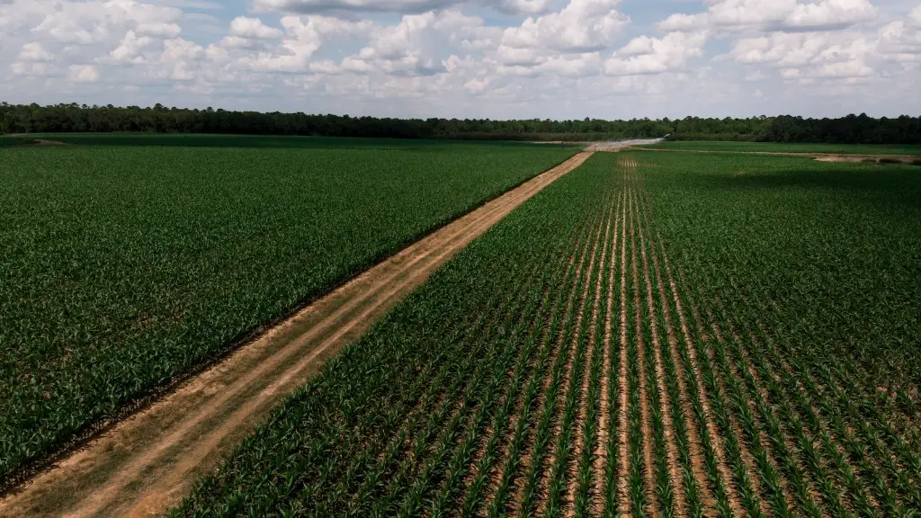
Soil surveys are an important tool for agricultural purposes. They provide information on the physical and chemical properties of soils, as well as their geographic distribution. This information is important for making decisions about land use, crop selection, and soil conservation.
A soil survey is an assessment of the soil resources in a given area. It is generally used to determine the suitability of the soil for agriculture, but may also be used for other purposes such as assessing environmental impacts or identifying areas at risk of contamination.
What is soil survey?
Soil survey information is the key to understanding the soil resource. It helps us to identify the most appropriate soil for a particular use, and to manage and conserve the soil resource.
A soil survey is a scientific study of the soil in a particular area. The three types of soil surveys are: detailed, reconnaissance and detailed reconnaissance.
A detailed soil survey is a comprehensive study of the soil in a specific area. It includes a study of the physical and chemical properties of the soil, as well as its classification.
A reconnaissance soil survey is a less comprehensive study of the soil in an area. It includes a study of the physical properties of the soil, but not its chemical properties.
A detailed reconnaissance soil survey is a more comprehensive study of the soil in an area. It includes a study of the physical and chemical properties of the soil, as well as its classification.
What is the purpose of soil survey in agriculture
Soil surveys serve an important purpose in providing information about specific geographic areas that can be used for regional or local land use plans. They can also increase general knowledge about soils, which can be useful for a variety of purposes.
The objective of a detailed soil survey is to generate detailed information on soil and land characteristics of the priority area using various scales of cadastral maps (1:4K/8K) or large scale aerial photographs (1:15,000). The current using scale is 1:10000.
What is the process of soil survey?
Soil surveying is a process of studying the soil in order to determine its physical and chemical properties. This information is then used to classify the soil and to map its distribution. Soil surveys are used for a variety of purposes, including agricultural planning, environmental assessment, and construction projects.
The Soil Survey Report is an important tool for anyone looking to learn about the composition of the soil in a specific area. The report includes a soil map and legend, as well as descriptions of the different soil types found in the survey area. This information can be used to make informed decisions about land use, agriculture, and other activities that may impact the soil.
What are the four types of soil survey?
There are four different types of soil surveys, each one requiring a different type of base map:
1. Exploratory Soil Survey: This is the initial survey conducted to get an idea of the general soil conditions in an area. A small-scale base map is needed for this survey.
2. Reconnaissance Soil Survey: This is a more detailed survey of a larger area, conducted to get a better understanding of the soil conditions. A medium-scale base map is needed for this survey.
3. Detailed Reconnaissance Soil Survey: This is an even more detailed survey conducted over a smaller area. This survey is used to get a very precise understanding of the soil conditions. A large-scale base map is needed for this survey.
4. Detailed Soil Survey: This is the most detailed type of soil survey, and is conducted over a very small area. This survey is used to get a extremely precise understanding of the soil conditions. The largest scale base map is needed for this survey.
A soil survey is a report that includes general information about the geology, topography, and climate of an area, as well as the types and volumes of soils in the area. The survey is used to help assess the suitability of the area for various uses, such as farming, forestry, or construction.
What are the four stages in a soil survey process
Site investigation is the process of gathering information about a site in order to determine its suitability for development. It can be broadly classified into four stages: reconnaissance, data and map study, in-depth investigation and laboratory testing.
Reconnaissance is the initial stage of site investigation, where the site is examined in order to identify potential problems that could impact the development. This is typically done through a site visit, during which the investigator looks for signs of environmental contamination, flooding, existing structures, and other potential hazards.
Data and map study is the second stage of site investigation, where the investigator reviews available data and maps to get a better understanding of the site. This data can include topographic maps, geologic maps, and aerial photographs.
In-depth investigation is the third stage of site investigation, where the investigator conducts more detailed testing in order to confirm the findings from the initial stages. This testing can include soil sampling, groundwater testing, and surveys.
Laboratory testing is the fourth and final stage of site investigation, where samples from the site are analyzed in a laboratory to determine their physical and chemical properties. This information is used to assess the suitability of the site for development.
A specific use soil survey is done to evaluate the suitability of the soil or area for a specific purpose. It focuses on a narrow range of soil properties that are important for that particular purpose.
What are the advantages of a soil survey?
Soil surveys are important for many reasons. They show the areas, types and characteristics of topsoil and subsoil available on site and advise on best practice for resource protection and suitability for reuse in cases where land is being disturbed. This information is important for developers, planners and engineers to make sure that construction works do not damage or degrade the quality of the soil, and to identify soils that are suited to different types of development.
Exploratory:
This type of research is conducted in order to get a better understanding of a topic or issue. This involves looking at the existing literature and conducting interviews or focus groups to gather more information.
Descriptive:
This type of research is used to describe a phenomenon. This can be done through surveys, interviews, or observing behavior.
Causal:
This type of research is used to establish a cause and effect relationship. This can be done through experiments or surveys.
What are the five main characteristics to consider in a soil survey
Class 1 soils are the most suitable for irrigated potato production for processing, while Class 5 soils are the least desirable. The rating is based on texture, drainage, salinity, sodicity, topography, and stoniness.
A soil test is a great way to get to know your soil and what it needs. Here are five things your soil test will tell you:
pH: A soil’s pH level indicates how acidic or alkaline it is. This is important because plants have different preferences for acidity and alkalinity, and because pH affects how easily nutrients are absorbed by plants.
Macronutrient levels: Nitrogen, phosphorus, and potassium are the three macronutrients that are most important to plants. Your soil test will tell you how much of each of these nutrients is present in your soil.
Secondary and micronutrient levels: There are other nutrients that plants need in smaller quantities, including calcium, magnesium, and sulfur. Your soil test will tell you how much of these nutrients is present in your soil.
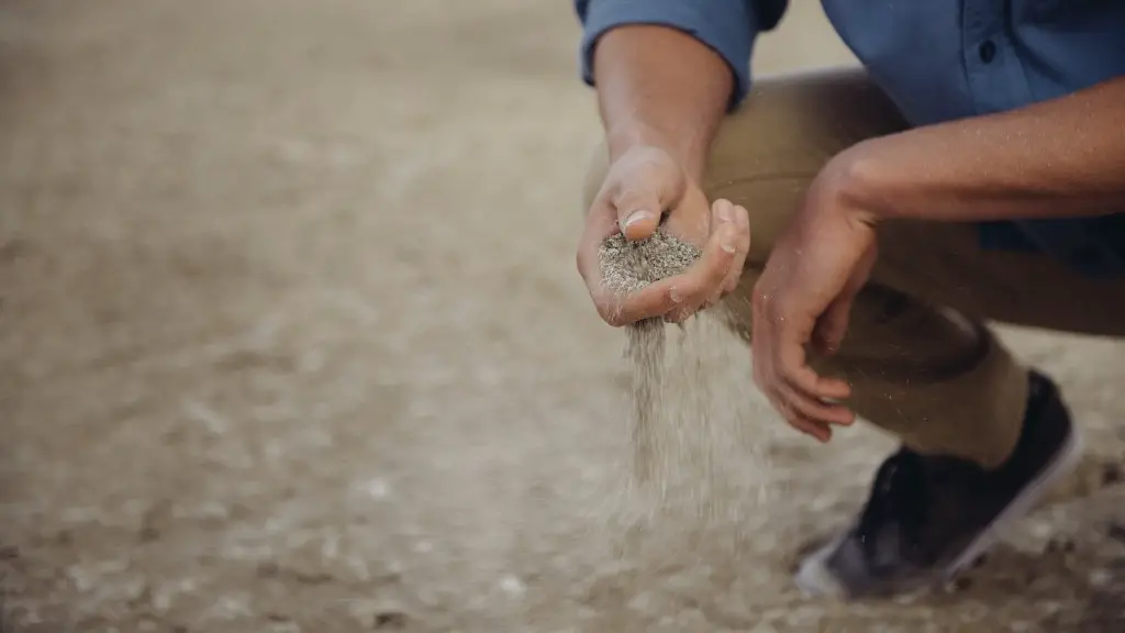
Soil texture: Soil texture refers to the size of the particles in the soil. This affects how well the soil drains, how much water and air it holds, and how easily roots can penetrate it.
Organic matter amount: Organic matter is important for soil health because it helps to improve soil structure, increase water and nutrient retention, and promote beneficial microbial activity.
What are the problems of soil survey?
There are several problems that are unique to the field work and mapping of soil surveys. Because soil series vary so much in slope, degree of erosion, number and size of stones, or some other feature affecting their use, practical suggestions about their management could not be made if they were shown on the soil map as one unit. This makes it difficult to make accurate and reliable maps of soil surveys.
A geophysical survey is a survey of the subsurface of the earth using techniques of geophysics. The purpose of a geophysical survey is to gather information about the subsurface of the earth in order to understand the physical properties of the rocks and soils, the nature of the water and other fluids, and the environment of the survey area.
Ground conditions are the physical and chemical properties of the soils and rocks that make up the earth’s surface. These properties include the type of material, the grain size, the moisture content, the porosity, the strength, and the density.
A ground investigation is a study of the subsurface of the earth to gather information about the physical and chemical properties of the rocks and soils, the nature of the water and other fluids, and the environment of the survey area. The purpose of a ground investigation is to gather information about the subsurface of the earth in order to understand the physical properties of the rocks and soils, the nature of the water and other fluids, and the environment of the survey area.
In situ testing of soils is a testing method that is used to determine the physical and chemical properties of soils. This type of testing is conducted on site, and
Final Words
A soil survey is an agricultural study conducted to provide information about the physical and chemical properties of soils within a specific area. The survey includes a mapping component that delineates the different soil types within the area, as well as a laboratory analysis of the soils’ properties. The information collected from a soil survey can be used to make decisions about land use, crop selection, and irrigation and drainage systems.
The soil survey is a tool that is used by farmers to help them understand the physical characteristics of their soil. This information can be used to make decisions about what crops to grow, how to manage irrigation, and other important decisions that impact agricultural production. The soil survey is an important tool for farmers, and can help them to improve their operations and crops.

