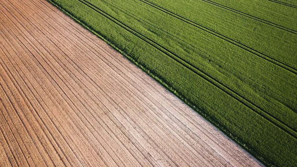
Satellites are increasingly important for agricultural productivity, and this is mainly due to their ability to provide timely, location-specific information. Satellite data makes it possible to accurately detect, monitor, and forecast weather, pests and diseases, soil moisture, crop yields, and other factors that can directly impact agricultural output. This data is collected by satellites using a variety of sensors, including microwave, infrared, and multispectral imagers. Furthermore, the wide availability of satellite imagery has enabled the collection of this data from almost any location on the planet.
Using satellite imagery, farmers can detect problems before they become too serious. For example, satellite imagery can be used to detect crop disease, insect damage, and soil variation. All of this can help farmers identify areas of the field that need attention or take preventive measures early on to avoid or lessen damage. In addition, satellite imagery can also be used to identify areas of the field that have higher-yielding crops, or to detect potential nutrient deficiencies. Lastly, satellite imagery can also be used to monitor crop growth rate, which can be useful for planning future crop rotation strategies.
Satellite imagery can also be used to help farmers evaluate irrigation and water management. By using satellite data, farmers can monitor soil moisture levels, which can help identify areas of the field that need to be irrigated or can make adjustments to fertility management strategies. Furthermore, satellite imagery can also be used to detect areas of standing water or water logging, both of which can lead to losses in crop yield.
Satellite imagery can also be used to monitor and assess potential areas of land degradation, allowing farmers to obtain early warning of soil erosion or other environmental problems. Additionally, satellite imagery can be used to detect and map the extent of vegetation in an area and to identify areas of land suitable for planting new crops. Furthermore, satellite imagery can be used to analyse the size and quality of crops so that farmers can determine the best times for planting.
Overall, satellite imagery has become an invaluable tool for agricultural producers. From monitoring crop growth to detecting signs of pest infestations or soil erosion, satellite imagery can be used to help farmers ensure maximum crop yields and profitability.The ability to collect timely, location-specific information makes satellite data a must-have for any agricultural operation.
Examples of Satellite imagery
The most commonly available type of satellite imagery is that collected with multispectral imagers. These cameras detect several types of signals at once, ranging from visible light to microwaves. When used for agriculture, this type of imagery can provide information on crop health and yields, crop diseases, soil composition, and other factors. For example, satellite imagery can be used to differentiate between healthy and pest damaged crops, identify soil composition, monitor crop growth rates, and identify nutrient deficiencies in the soil.
In addition to multispectral imagers, satellite data can also be collected using microwave sensors. This type of imaging provides farmers with information related to water content in the soil, which can be used for irrigation and water management. Furthermore, microwave data can also provide information on crop yields and soil erosion. By combining the data from both sources, farmers can better monitor soil moisture and identify areas of the field that need irrigation.
Lastly, infrared imagery can be used to detect temperature differences in a field. This information can be used to identify areas of the field that are under-irrigated or are suffering from temperature extremes. By using this data, farmers can make adjustments to their irrigation practices or plant new crops in areas with optimal temperatures.
Applications of Satellite imagery
In addition to the data mentioned above, satellite imagery can also be used to help farmers manage environmental issues. For example, satellite imagery can be used to assess the presence of land degradation or climate change, both of which could have an impact on the environment in which farmers operate. Furthermore, satellite data can be used to identify areas of land that are suitable for planting new crops and to evaluate land cover changes over time.
Satellite imagery can also be used to monitor water use, which can help farmers manage their water resources more effectively. For example, satellites are capable of detecting changes in soil moisture and can also be used to detect areas of standing water or water logging. By combining this data with other tools, farmers can better manage their irrigation practices and take preventative measures to avoid water scarcity or water logging.
Finally, satellite imagery can be used to monitor crop production and yields. By using this data, farmers can predict future crop demand and plan future planting strategies accordingly.
Advantages of Satellite in Agriculture
The use of satellite imagery in agriculture offers many advantages to farmers. Firstly, satellite data can provide farmers with more accurate, timely, and location-specific information than traditional methods of farming. Secondly, satellite data can be used to detect problem areas in the field quickly, providing farmers with an early warning of potential problems. Thirdly, satellite imagery can be used to evaluate land cover changes and identify areas of the field that can be planted. Finally, satellite data can be used to identify areas of the field that have higher yielding crops or access water resources more effectively.
Limitations of Satellite in Agriculture
Although satellite imagery can provide many advantages to farmers, there are some limitations. Firstly, satellite imagery can be expensive and difficult to interpret, so farmers may need to invest in specialised training to interpret the data correctly. Secondly, satellite imagery can be affected by atmospheric conditions, such as clouds and fog, which can make it difficult to collect data in certain parts of the world. Lastly, satellite data can be affected by weather systems, such as dust storms or floods, which can make it difficult to interpret with accuracy.
Disadvantages of Satellite in Agriculture
The main drawback of using satellite imagery for agricultural operations is the cost. As mentioned above, satellite imagery can be expensive and difficult to interpret, so farmers may need to invest in specialised training to get the most out of the data. This can be a major financial burden for small farmers, who may not have the resources or expertise to interpret the data correctly.
In addition, satellite imagery can be affected by weather systems, such as dust storms and floods, which can make it difficult to collect and interpret data accurately. Moreover, satellite images can be affected by atmospheric conditions, such as clouds and fog, which can make it difficult to collect data in certain parts of the world. This can lead to inaccurate data and can lead to incorrect decisions being made.
Conclusion
Satellite imagery is increasingly important for agricultural productivity, and this is mainly due to their ability to provide timely, location-specific information. However, the use of satellite imagery for agricultural operations can also be expensive and difficult to interpret, so farmers may need to invest in specialised training to get the most out of the data. Additionally, satellite imagery can be affected by weather systems, such as dust storms and floods, as well as atmospheric conditions, such as clouds and fog, which can make it difficult to collect and interpret data accurately.
